Research
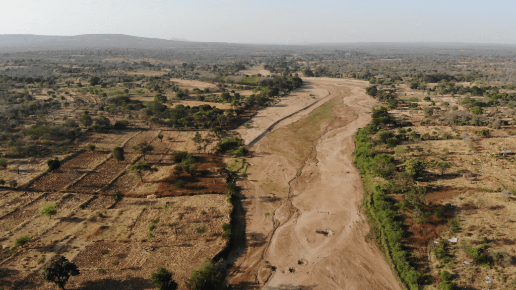
Tiva River, February 2023. Picture by Africa Wood Grow and VU IVM
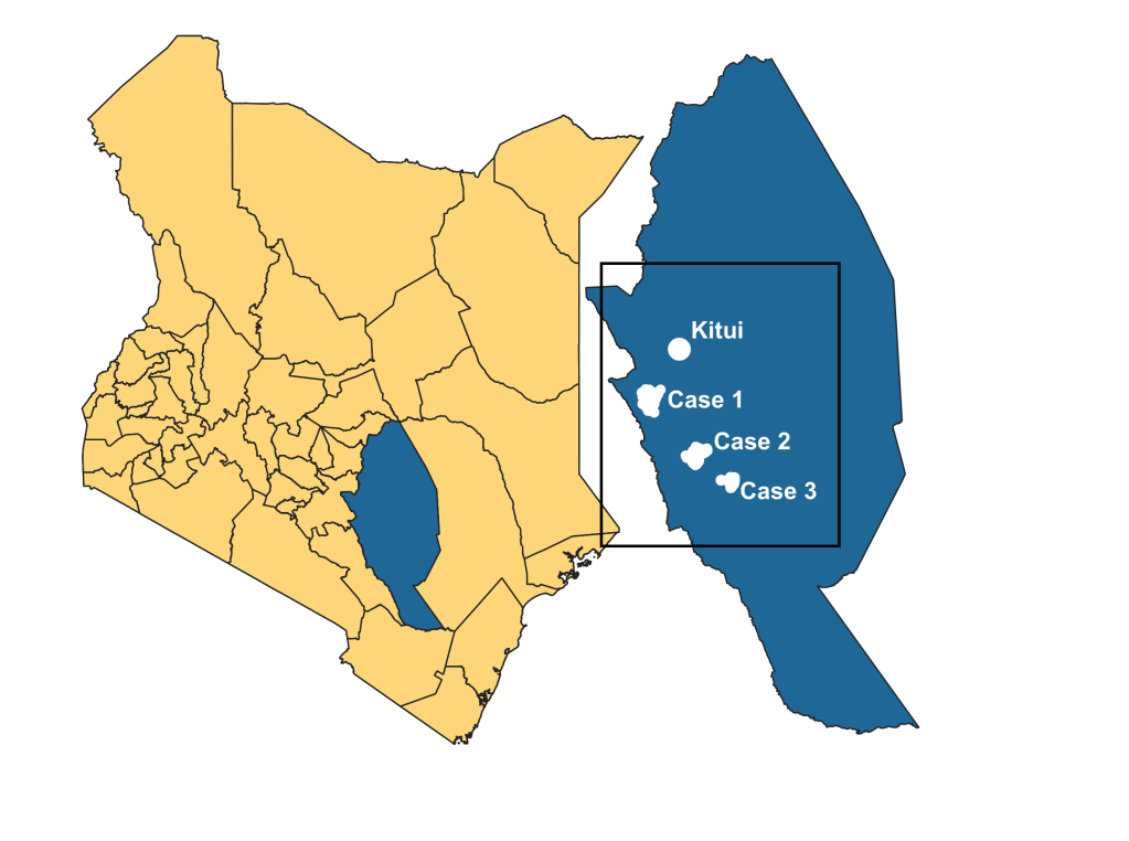
Kenya – Tiva River Basin, Kitui
In the Tiva River basin, we are researching the interactions between droughts and floods. We study people’s experiences of past droughts and floods through storytelling and surveying, as well as conduct longitudal hydrological measurements in the area using citizen science. With our primary data and other available sources, we are developing a socio-hydrological model that incoporates feedbacks between hydrology and how people live with droughts and floods.
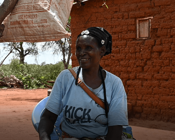
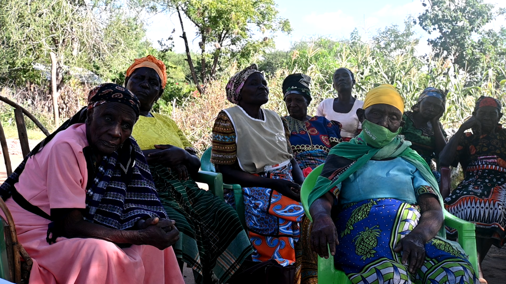
Our PhD researcher Ruben Weesie has conducted the first fieldwork in the Tiva basin from November 2022 to February 2023. We have undertaken storytelling sessions with 213 participants, and conducted a survey with 225 respondents.
The Tiva river forms the main source of water during the dry season and droughts for most. It is a seasonal river, which usually only has a visible water flow during the October-December and March-May rainy seasons. So the region has bi-annual cycles of dry to wet.
When it fails to rain, or it rains relatively little during a rainy season, we speak of a drought. When a rainy season is prolonged or rainfall is more heavy than usual, floods may occur.
During the dry season, there is still a subsurface water flow in the sandy layer of the riverbed, which people rely on for water. Some people live right around the river, while others are forced to walk hours to get potable water during droughts. During floods, those living close to the Tiva and its tributaries risk their land being flooded by the rivers. Most also experience erosion and gully formation on their lands, leaving the land more vulnerable for the next drought and flood.

From rainy season to dry season: the bi-annual cycle of the Tiva river (pictures by Ruben Weesie)
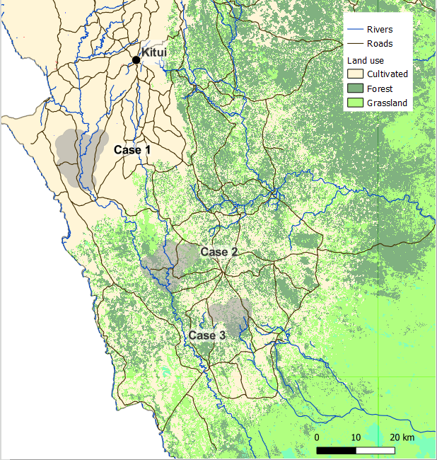
We focused on 3 areas in the case study, comparing upstream and downstream groups of people, who live at different distances to the river.
Stories
Droughts and floods have been happening in the area for a long time, shown by this story of Kakila, an elderly farmer in Kiangu:
“It was called Nguuti drought. That famine people would even eat wild trees. Food aid was being brought by aeroplanes. After rains, the bridges were carried away so food aid could not come to us by vehicles. Helicopters came from Nairobi to bring us relief food. That was in the year 1963. The Nguuti rains brought about a lot of destructions, the one that swept away bridges. […] maize were getting ready for harvest covered by water, they would even turn yellow due to water logging. People also died a lot due to a disease. After the rains the water just flows to the rivers. There were a lot of gullies formed.”
Another period of drought ending in a flood occurred during the 1990s, as shared by a group of widowed women:
“There was food for buy but the source of earning an income was only through charcoal burning. They were burned even by kids.[…] it got to a point where there was no charcoal burning because the trees were exhausted so now even if the droughts come you can’t find anyone burning charcoal because trees are not there. […] The big ones we cleared them all.”
“The El Nino one (97), it rained to a point that because our houses are built with mud, a lot of houses had no cement, you would find that when you sleeping they break. […] An earth dam called Kanguu, it broke, water got in our homes, and you would hear pots crushing each other, on stepping out the water was on knee level, you would get out and climb on a tree. El Nino rained a very heavy rainfall because it rained from October until March. We planted and the crops germinated but they were destroyed. Some were rotting there. […] In ’97 there were a lot of outbreaks of diseases like cholera because the toilets had collapsed and people were going in the forest to help themselves. […]
This being just a selection of the many stories that were shared with us, we will be analysing all the tales told over the next months.
Hydrological measurements and surveying
4 Raingauges across the case study areas have been set up with citizen scientists, smallscale farmers, who monitor rainfall daily as from December 2022. Other hydrological measurements we are taken on a monthly basis are subsurface river flows (of Tiva and tributaries), and water levels in wells and scoopholes.
We also conducted a survey in the case study areas, which analyses what water sources people have used over time, experienced droughts and floods over time, and what they did to cope and adapt to droughts and floods. Analysis of this data will start in April 2023.
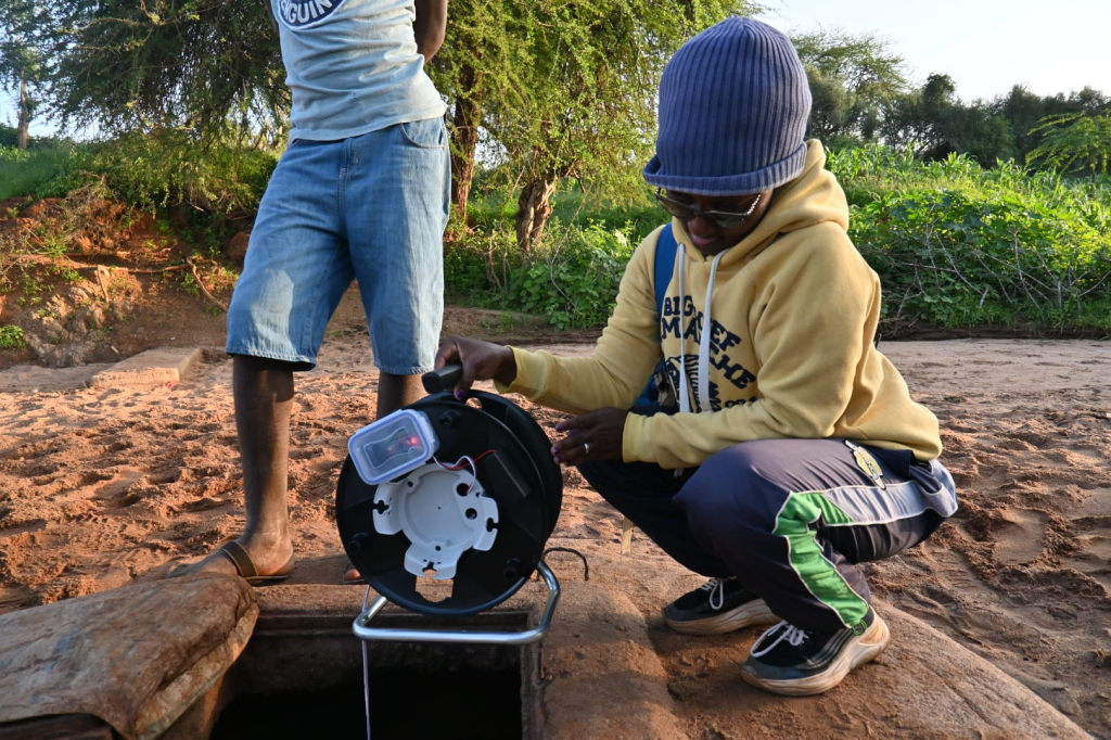
Hydrological measurements in the Tiva river basin (picture by Ruben Weesie).
Funding
PerfectSTORM has received funding from the European Union’s Horizon 2020 research and innovation programme under grant agreement number ERC-2020-StG 948601
Contact
Instituut voor Milieuvraagstukken (IVM) /
Institute for Environmental Studies
Vrije Universiteit Amsterdam
De Boelelaan 1111, 1081 HV Amsterdam
The Netherlands
